Infrastructure technology
Every day Norway
digs blind.
Landmarker builds systems that give infrastructure owners and operators verified knowledge, real-time awareness and documentation that holds up. From planning to operations.
For contractors
Dig safely. Document as you go.
Tools that live where the work happens – in the cab, on site and in the trench. Available through graveinfo.no.
Does this sound familiar?
You don't know who owns the lines
Infrastructure is often unmarked in the field, and finding the right owner to contact takes time.
Dig notifications by email, phone and paper
Without one shared place, notifications fall through the cracks and nobody has the full picture.
Documentation must match what was actually laid
Norwegian regulations require positions with a defined accuracy – and afterwards the trench is closed.
The solutions
Four tools. One place to start.
Everything starts in graveinfo.no. Use what you need for the job at hand.
Digital case handling
Dig notifications
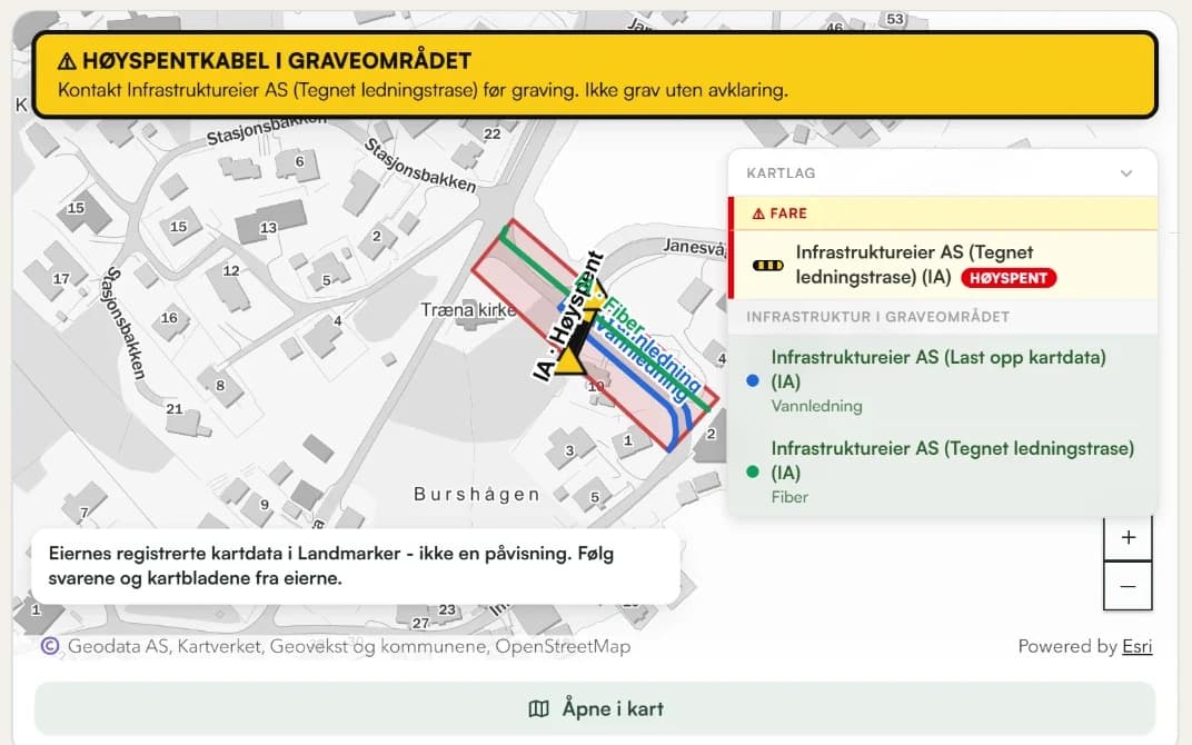
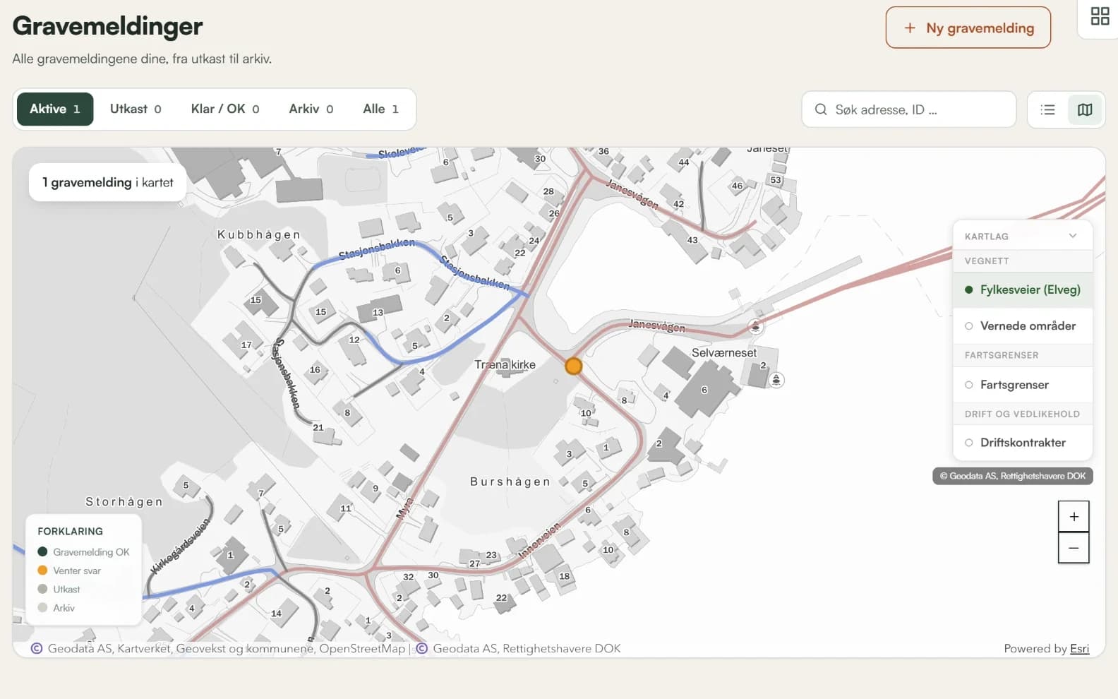
Standardised, risk-based handling of dig notifications. Automatic alerts and a digital flow from start to finish.
Read more about dig notificationsXYZ coordinates
Cable location
Manual location in the field or digital through the platform. The position is recorded in XYZ coordinates.
Read more about cable locationWhile the trench is open
As Built
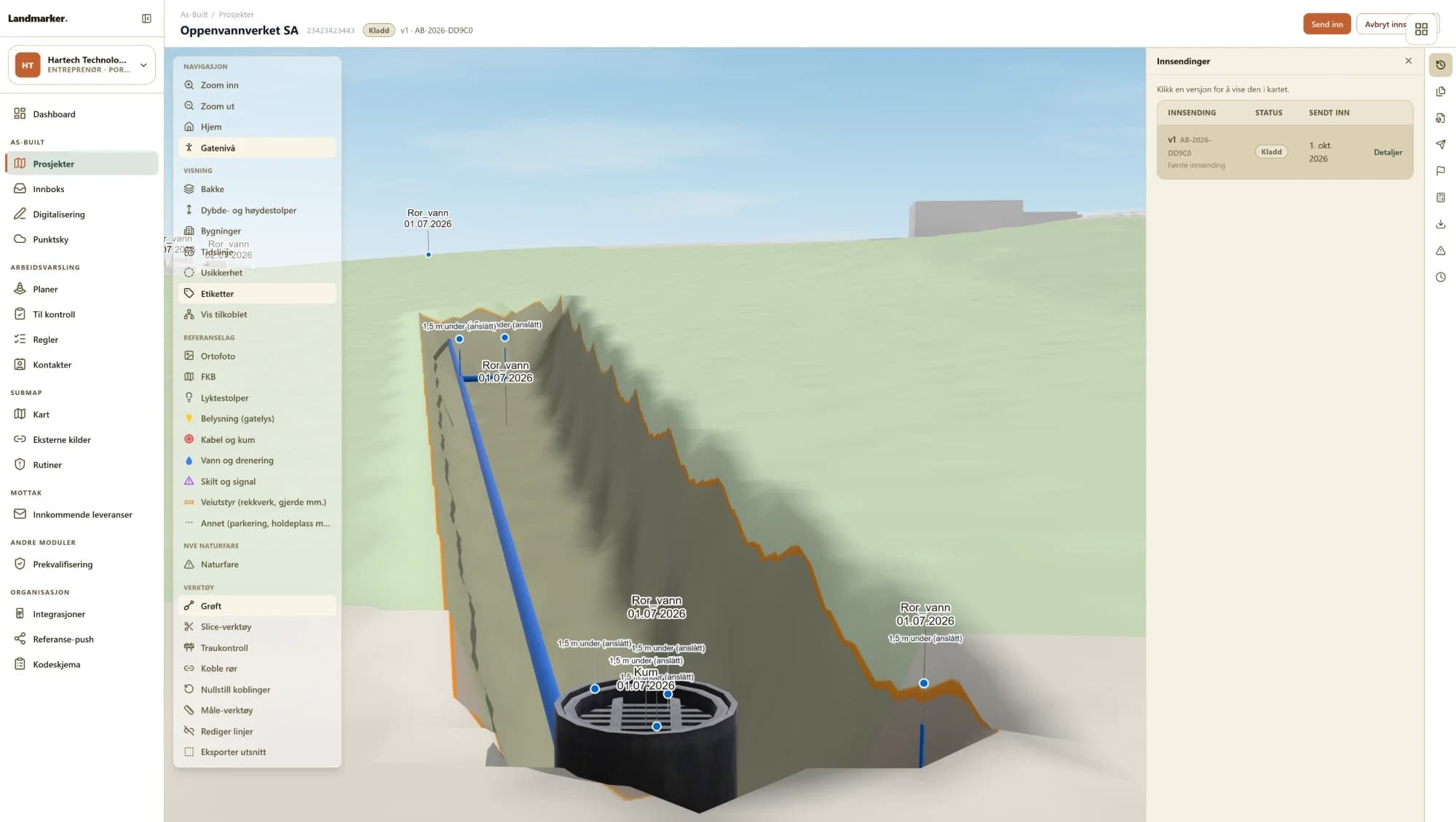
Document infrastructure while the trench is open. Meets the requirements of the Norwegian utility registration regulations.
Read more about As BuiltWorks offline
Avviksappen
Report map errors and excavation damage on site, with photo and GPS position. The right owner is found automatically.
Read more about Avviksappen
The platforms
From application to measured line.
Apply for a dig permit, notify the owners, make a signage plan and measure what was laid – with tools that work together.
What you use as a contractor
 graveinfo.no (opens in a new tab)
Send dig notifications and order cable location. The owners in the area are notified automatically.
 jarð (opens in a new tab)
Apply for a dig permit from the municipality and follow the application until it is approved.
 The Landmarker portal (opens in a new tab)
Make a signage plan in Arbeidsvarsling and measure the line with As Built before the trench is closed.
- Avviksappen
Report map errors and excavation damage from the field, even without coverage.
3,000+ infrastructure owners are connected to graveinfo.no.
Get started
Three steps to safe digging.
Register your company in graveinfo.no
Free of charge. Registration takes 2 minutes.
Look up the dig area
The owners of infrastructure in the area are notified automatically.
Order location and document
Cable location before you dig, As Built while the trench is open.
Utility registration regulations
Document while the trench is open.
The regulations require buried infrastructure to be documented with a defined accuracy. Once the trench is closed, it is too late.
With As Built, the position is measured in XYZ coordinates while the trench is open. Photos are linked to the points, and the report is created automatically.
Read about As BuiltTalk to us.
Contractors
Jarle Nyhus
CEO & Founder
Municipalities and infrastructure owners
Emil Hasund Eid
COO & Founder